Editor's review
This is map software that can help with GPS navigation.
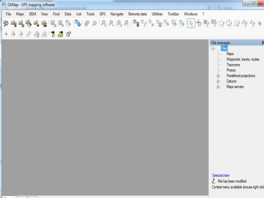
OkMap is a GPS and map software. It can work on vector maps and help calibrate raster maps easily. Raster calibration can be done for various map projections. You would be able to layout a route by marking waypoints. While laying a route or a track (part of the route actually traveled) you would be able to take in the undulations in the terrain and use Digital elevation maps for this purpose. Combined with GPS data in real time, that can be uploaded/downloaded, you would be able to mark the track besides finding where you are at any given moment. The application can be integrated with Google maps and Google earth in 3D as well. Geocoding functions are supported in the utility. Autorouting functionality is also available. Sending and receiving of data from vehicles is possible so that you can track a vehicle and display the track in real time.
Additional functionality include display ability of Google maps and Google earth data of the surroundings, including a 3D view according to Google earth, ability to exchange GPS data from a remote location and ability to exchange data with GPSgate.com server. You will be able to send current data to a remote server too. This is quite a versatile map application that makes it suitable for a whole set of outdoor activities. Activities such as trekking, off road biking, boating, hunting & fishing, fun stuff like geocaching and serious stuff like search & rescue can all benefit from this.


User comments